In the time of COVID or any other contagious health crisis, it is important to avoid human contact. Despite the risk, there are certain daily chores, such as shopping for food, that need to be accomplished in public. In order to minimize your risk of exposure, using Google Maps can help you determine when it is safest to visit locations based on current cellular density.
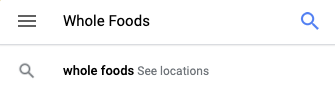
- Navigate to Google.com/maps using a web browser on a computer or open the Google Maps app on iPhone or Android.
- In the search field, type in the name or address of your destination of choice. If the company or address in question has multiple matches, they may be aggregated into a “See location” button. Click this button.
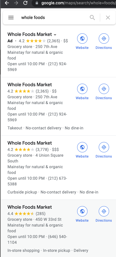
- Then select the correct destination of choice by clicking on the desired entry.
- Once the location loads, in the left hand location description column, there will be a Popular times section.
Determine the time of day that is safest to attend based on historical occupancy vs. current density.
In the example snip below, you can see that at 5pm there are usually more people at this location than there are right now as indicated by the higher grey bar and the lower red bar.
Also, you can see, that at 8am and 9pm are the lowest density times.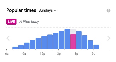
Note: You can use the Day-of-week drop down to look through the week to determine what times work for your risk tolerance. Use your discretion.